History
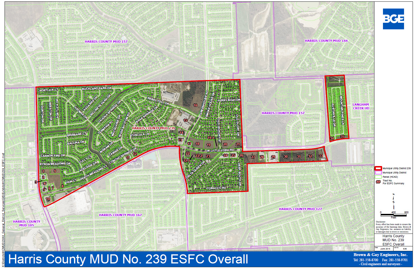
The District is a political subdivision of the State of Texas, created by order of the Texas Water Commission, a predecessor to the Texas Commission on Environmental Quality (the “Commission”), dated July 13, 1983. The District operates pursuant to Chapters 49 and 54 of the Texas Water Code, as amended. The District consists of approximately 490 acres of land.
The District is located in Harris County, approximately 21 miles west-northwest of the central downtown business district of the City of Houston. The District is located east of Fry Road, west of Barker Cypress Road and is bisected by West Little York. The District is located entirely within the extraterritorial jurisdiction of the City of Houston and within the boundaries of the Cypress-Fairbanks Independent School District.
District Statistics
| Area of the MUD in sq miles. | 489.6 sq miles |
| Number of taps served. | 1875 |
| Number of customers in the district. | 5,625 population served |
| Number of water plants. | 2 water plants shared by Harris County MUD 127 and 239 |
| Number of sewer plants. | 1 shared wastewater plant |
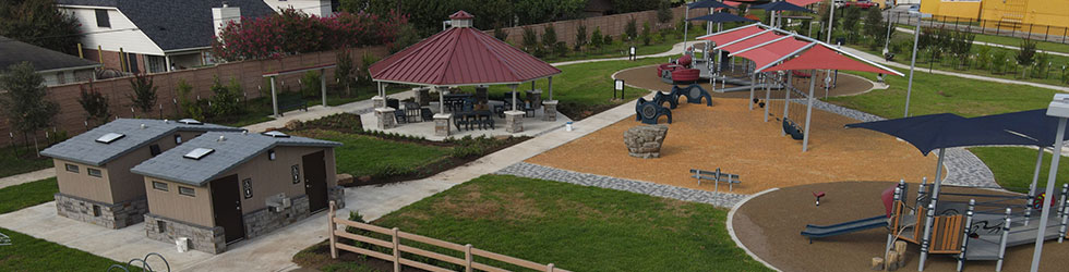
| Number of acres maintained by the District. | 33.14 |
| Bear Creek & Austinville Mowing Frequency | 2x/month |
| Esplanades Mowing Frequency | 4x/month |
District Map